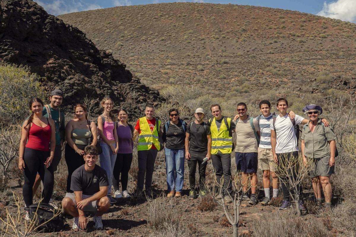
The University of La Laguna recently held a field trip to the Malpaís de Güímar Special Nature Reserve To mark International Geodiversity Day, commemorated on October 6, the event allowed participants to learn firsthand about the geological, scenic, and environmental value of one of Tenerife's most unique recent coastal volcanic enclaves, and to reflect on the importance of its conservation.
This activity, organized by the Vice-Rectorate for Culture and University Extension in collaboration with UNESCO, was academically directed by Francisco Javier Doniz Paez, Professor in the Department of Geography and History at the University of La Laguna, and included the participation of Cayetano Guillén Martín, professor in the area of Physical Geography of the same department and members of the research group Geoturvol - Geoheritage and geotourism in volcanic areas.
The outing involved a dozen people, including students of Tourism, History and Geography degrees, who were able to identify and interpret on the ground the main elements of the relief and understand the natural and human processes that have intervened in its configuration.
The students particularly valued the opportunity to put much of the theoretical knowledge acquired in the classroom into practice. According to the participants, these kinds of experiences allow them to directly observe the phenomena studied, better understand the academic content, and gain a different perspective of the region, thus enriching their university education.
Dóniz explained that geodiversity refers to the variety of forms and processes related to the relief of a territory, also taking into account its links with biodiversity and human uses. In this sense, he highlighted that the Malpaís de Güímar is one of the examples of monogenetic basaltic coastal volcanism with the greatest geomorphological diversity in Tenerife, making it a particularly interesting place for study and dissemination.
The area's main landmark is Montaña Grande, a volcanic cone approximately 170 meters high that is one of the most recognizable landscape features of the Güímar Valley. Its eruption, dated between 789 and 725 BC, gave rise to various formations, including lapilli fields, eruptive fissures, volcanic tubes, and lava flows that advanced towards the sea and altered the coastline.
The researchers emphasized that, despite being a volcano approximately 2,800 years old, it is considered geologically recent. Guillén stressed the importance of understanding the different timescales used to study the territory and pointed out that, within the context of Tenerife's geological history, these formations are extremely young.
The professor also emphasized that the richness of the Malpaís depends not only on the composition of its materials, but also on the diverse forms of its surface and the environment in which the eruption occurred. Its coastal location, climatic conditions, and subsequent evolution of the landscape have all contributed to shaping a unique landscape, the study of which is of interest to disciplines such as geography, geology, and biology.
 A protected space subjected to human pressure
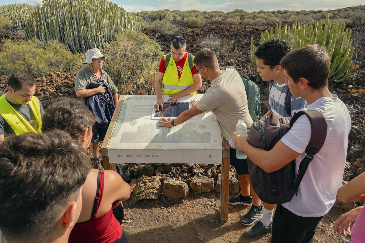
During the visit, the researchers also addressed the relationship between natural heritage and human activity. Although the Malpaís de Güímar is in a relatively good state of conservation, its proximity to the industrial park and the coastal town of El Puertito has generated various pressures on the area.
Guillén highlighted the contrast between the areas transformed by human activity and the protected environment, as well as the need to understand the values that justify its conservation. Among these values, its biological richness stands out, especially for harboring one of the best examples of cardonal-tabaibal vegetation in Tenerife, with exceptionally large cardon cacti. The researcher also explained that the distribution of these plant formations is closely related to the morphological characteristics of the lava flows.
The professors also pointed out that the Malpaís has hosted various activities since pre-Columbian times, such as grazing, agriculture, and the extraction of materials, all of which have left their mark on the current landscape. Its protection, therefore, requires understanding both the natural processes that shaped it and the influence of human uses over time.
The field trip highlighted the value of this location as a natural laboratory for university education, research, and the dissemination of geoheritage. Through direct observation, participants were able to deepen their understanding of the Canary Islands and the importance of reconciling its educational use with the conservation of its natural values.

 Spanish
 English
 French