
The University of La Laguna presented yesterday, Wednesday, April 22, a platform for simulating cascading failures applied to island water systems, developed within the framework of the European project of the Horizon Europe program. GENESIS. This system allows for the recreation of risk scenarios and the analysis of how a single incident can spread throughout the infrastructure network, compromising the water supply in particularly vulnerable areas such as the Canary Islands. The platform has been developed for the islands of Gran Canaria, El Hierro, and La Palma, and its objective is to support decision-making and improve the resilience of the islands' water supply systems.
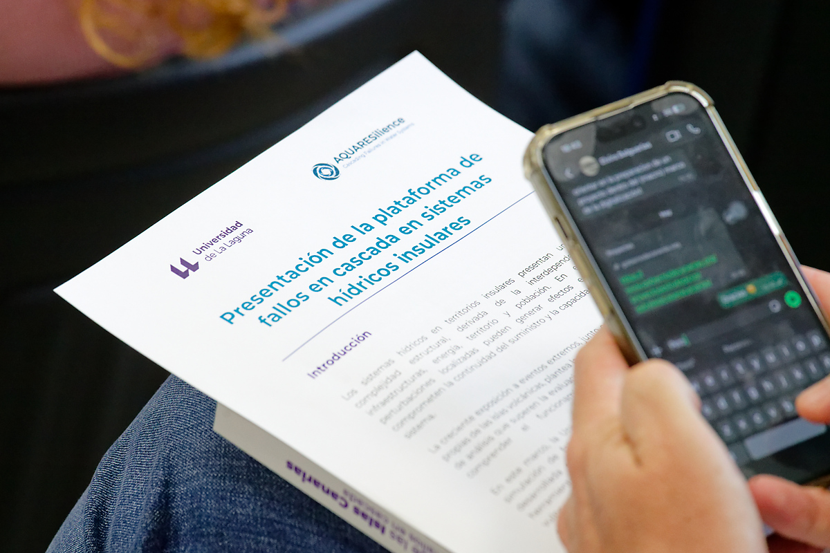
The event, held in the Agricultural Engineering Section of the Higher Polytechnic School of Engineering, brought together the research team, coordinated by the professor Juan Carlos Santamarta Cerezal and the teacher Noelia Cruz Pérez, along with the researchers Jelena Koritnik y Megan Expósito Brazier, from the University of La Laguna; and the artificial intelligence specialist Mehdi Khoury, from the company Ramparts & Light Limited. The session combined the presentation of the project's partial results, the technical explanation of the model, and the presentation of real-world cases in the Islands, in addition to the book launch. Water infrastructure of the Canary Islands: natural hazards and cascading failures, which summarizes the main findings of the research.
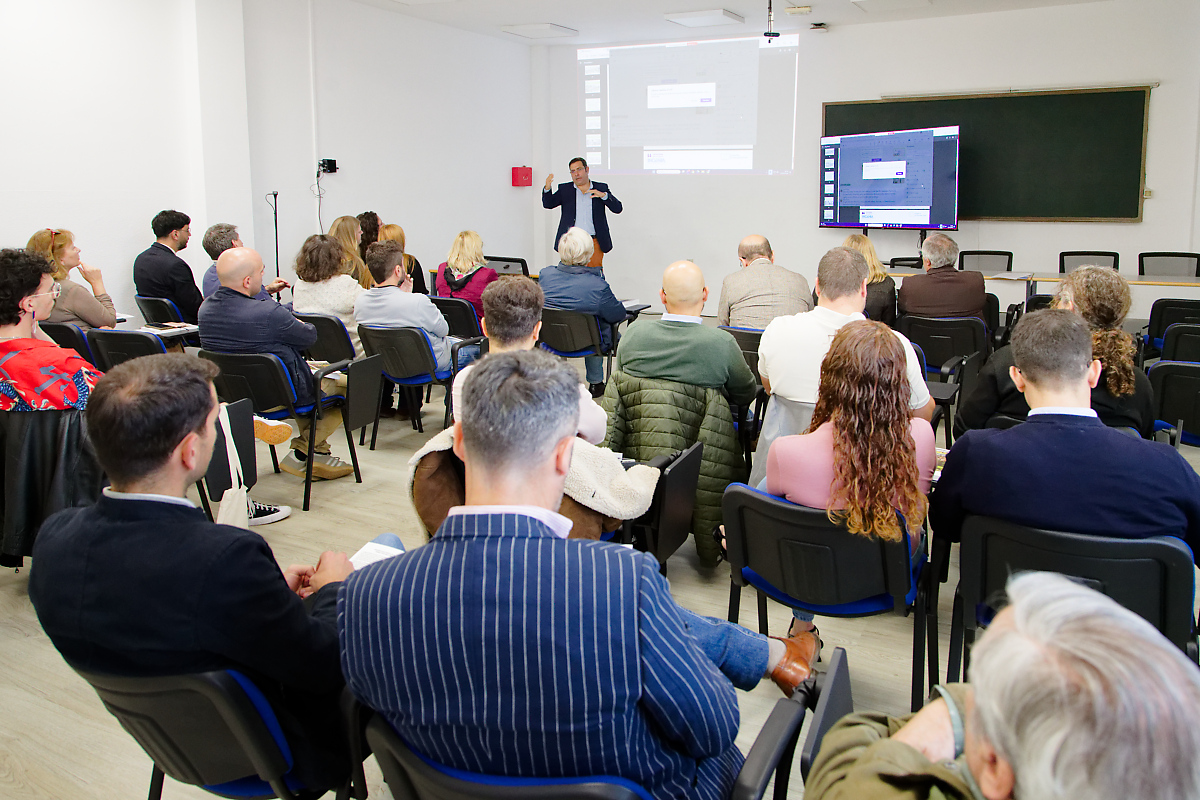 Another moment from the presentation.
An interconnected system
The model is based on a key idea that is also developed in this publication: the water system does not function in isolated parts, but as an interconnected network in which all elements are related. Water supply depends on the coordinated operation of intakes, pumping stations, pipelines, and reservoirs, but also on energy availability, access to infrastructure, and management capacity. When one of these elements fails, the impact is not usually isolated, but can spread and affect the entire system. It is precisely this capacity for propagation, often difficult to detect under normal conditions, that the model allows us to anticipate and analyze.
During the presentation, Santamarta explained that this work is part of a European initiative aimed at improving the resilience of critical infrastructure to climate change in island territories. She emphasized its applied focus, supporting water management in a context where systems are increasingly demanding and exposed to disturbances of various kinds. In this regard, she highlighted that they are already collaborating with entities involved in water management on islands such as El Hierro and La Palma to apply these models to real-world analysis and planning processes in the coming weeks.
Noelia Cruz, for her part, situated the research within the framework of European climate adaptation strategies in outermost regions, where factors such as insularity, dependence on limited resources, and exposure to natural hazards necessitate a move towards more integrated approaches. This work combines digital tools, territorial analysis, and nature-based solutions, with the aim of helping administrations, businesses, and communities identify vulnerabilities and anticipate medium- and long-term risk scenarios.
Mehdi Khoury explained that the model integrates thousands of nodes —infrastructures and elements of the territory— connected to each other which, in the case of the Canary Islands, represent everything from galleries, wells or springs to reservoirs, dams, drinking water tanks or distribution networks, configuring a network that reproduces the real functioning of the water system.
As explained, the system combines geospatial information with data on population and economic activity, allowing not only the identification of the direct impact on infrastructure but also the estimation of its effects on service and society. The modeling has been carried out at the census tract scale and is based on data from organizations such as the island water councils, GRAFCAN, and Red Eléctrica de España, also incorporating the interdependence between sectors, especially between water, energy, and transport.
Its operation is based on three main elements: the integrity of each infrastructure after an event, its dependence on other services—such as the electricity supply or the water system itself—and operational availability, linked to factors such as access and response capacity. Based on this logic, it allows for the representation of different disruption scenarios associated with natural hazards such as forest fires, volcanic eruptions, coastal flooding, landslides, earthquakes, or adverse weather events, and the analysis of how these can affect infrastructure and its relationships with other essential services.
This simulation capability allows, for example, the assessment of critical infrastructure exposure, the analysis of system dependencies, the exploration of energy backup strategies, and the prioritization of maintenance and protection actions. In practice, it involves testing scenarios in a controlled environment to better understand system behavior and reduce uncertainty in planning.
Application in islands
During the session, researchers Jelena Koritnik and Megan Expósito Brazier presented examples of applications on islands such as El Hierro, La Palma, and Gran Canaria. These included a simulation of forest fires in southern La Palma, in municipalities such as Fuencaliente, Breña Baja, Los Llanos de Aridane, Mazo, and El Paso, where it was observed how an initial disturbance can affect various infrastructures and generate a chain reaction of consequences.
The model allows, for example, the simulation of the loss of a specific piece of infrastructure—such as a pipeline or a pumping station—and the immediate visualization of how this incident affects the rest of the network and the population. This type of analysis is especially relevant in a context where many hydraulic infrastructures are quite old and require maintenance, which increases their vulnerability.
The study focuses on a central idea: the resilience of water systems depends not only on the amount of water available, but also on how the infrastructure is organized, its degree of redundancy, and the relationships established between its components. In island territories like the Canary Islands, where much of the infrastructure is concentrated in coastal areas and requires pumping to higher elevations, the supply is conditioned by factors such as energy, storage, and the capacity to respond to incidents.
The book presented at the event reflects this same perspective and synthesizes the work carried out, providing key insights into the functioning of the archipelago's water system and guiding its adaptation to more complex scenarios. Overall, the research proposes an approach to water management in island territories that focuses not only on the availability of the resource but also on the system's capacity to maintain its functioning under stressful situations.

 Spanish
 English
 French