


September 22, 2026, marks the 50th anniversary of the assassination of Bartolomé García Lorenzo (1955-1976), one of the victims of police repression during the...

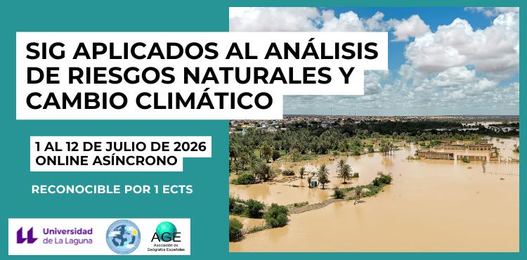
The Chair of Disaster Risk Reduction and Resilient Cities, together with the Spanish Association of Geography (AGE) Climate Change and Natural Hazards Group, are organizing this course which will be held in asynchronous online format between July 1 and 12, 2026.
The main objective of the course is to provide students with a theoretical and practical foundation in the use of Geographic Information Systems (GIS) applied to the analysis and management of natural risks, integrating the use of data sources, spatial analysis methodologies and cartographic tools for the understanding and communication of risk.
The specific objectives addressed are:
● Understand the fundamental concepts related to risk, including threat, vulnerability and exposure, from a territorial perspective.
● Identify, access and manage different sources of geographic information relevant to the analysis of natural hazards.
● Apply basic spatial analysis methodologies using GIS tools to study different threats.
● Analyze different types of natural risks in an applied way, integrating data and methods.
● Evaluate vulnerability and exposure as key components in risk construction, incorporating different methodological approaches.
● Use GIS tools to support emergency management and decision-making.
● Develop and represent risk maps in a clear, rigorous and communication-oriented manner.
This course is designed for students and professionals interested in the analysis and management of natural hazards using Geographic Information Systems (GIS). It is particularly geared towards students in fields related to geography, environmental science, geology, engineering, land management, or related disciplines.
It is also of interest to professionals in the fields of territorial planning, civil protection, emergency management and environmental consulting who wish to incorporate or reinforce the use of GIS tools in their professional practice.
Basic GIS skills are recommended, although the course approach will allow it to be followed by people with introductory knowledge of the subject.
Academic Director: Jaime Salvador Díaz Pacheco. Contracted Professor with a PhD, Department of Geography and History, University of La Laguna.
CERTIFICATE OF ATTENDANCE, COMPETENCE AND RECOGNITION BY ECTS CREDIT
The University of La Laguna, through the Vice-Rectorate for Culture and University Extension, will issue a certificate of attendance to all those who attend a minimum of 80% of the scheduled in-person class hours. Likewise, those who successfully complete the independent student work will receive a certificate of attendance and achievement, which is also recognized as an ECTS credit.
Free assistance upon prior registration. Check out the program and register here.
SOLD OUT!
Contact: extuni@ull.es
|
Monday
|
Tuesday
|
Wednesday
|
Thursday
|
Friday
|
Saturday
|
Sunday
|
|---|---|---|---|---|---|---|
10 events,
September 22, 2026, marks the 50th anniversary of the assassination of Bartolomé García Lorenzo (1955-1976), one of the victims of police repression during the... 
From October 7th to 30th, you can visit the photographic exhibition "Gaza, the unsilenced gaze. A call to not look away..." at the General and Humanities Library. 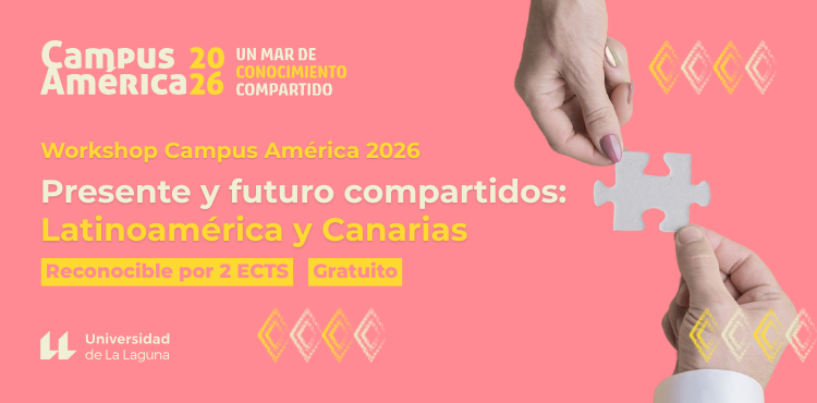
The fifth edition of Campus América is coming, from October 19th to 30th, a space for evaluating and promoting the internationalization efforts of the University of La Laguna... 
The Canary Islands Institute of Hemodonation and Hemotherapy is carrying out its annual blood donation campaign among the university community. This year, the campaign will be... 
The Exhibition Hall of the Faculty of Education at the University of La Laguna will host, from October 13th to 30th, the exhibition 'Images - Words', a project by... 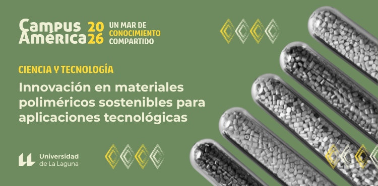
The fifth edition of Campus América is coming, from October 19th to 30th, a space for evaluating and promoting the internationalization efforts of the University of La Laguna... 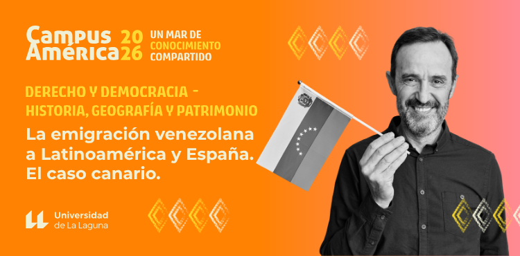
The fifth edition of Campus América is coming, from October 19th to 30th, a space for evaluating and promoting the internationalization efforts of the University of La Laguna...
-
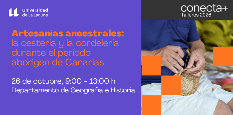
The workshop "Ancestral Crafts: Basketry and Rope Making during the Aboriginal Period of the Canary Islands" is part of the 2026 University Extension Workshops program "Connect+ Workshops". It will be held...
-
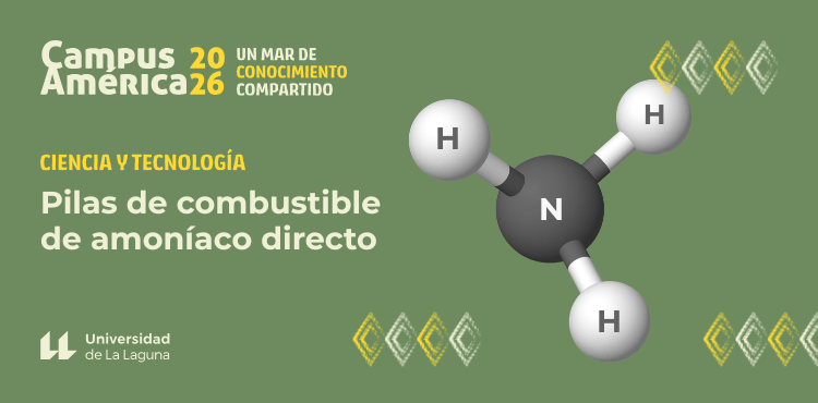
The fifth edition of Campus América is coming, from October 19th to 30th, a space for evaluating and promoting the internationalization efforts of the University of La Laguna...
-

The workshop "Let's Graft Fruit Trees" is part of the 2026 University Extension Workshops program, "Connect+ Workshops." It will be held in the Agricultural Engineering Department on Monday the 26th... |
15 events,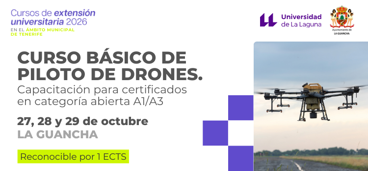
La Guancha hosts the course "Basic Drone Pilot Course. Training for open category A1/A3 certifications", jointly organized by the Vice-Rectorate for Culture and University Extension and the City Council... 
The Faculty of Law at the University of La Laguna will host the exhibition “Only Six. The Story of Salimata Sangare” throughout the month of November in its facilities... 
The fifth edition of Campus América is coming, from October 19th to 30th, a space for evaluating and promoting the internationalization efforts of the University of La Laguna...
-

The fifth edition of Campus América is coming, from October 19th to 30th, a space for evaluating and promoting the internationalization efforts of the University of La Laguna...
-
The fifth edition of Campus América is coming, from October 19th to 30th, a space for evaluating and promoting the internationalization efforts of the University of La Laguna...
-
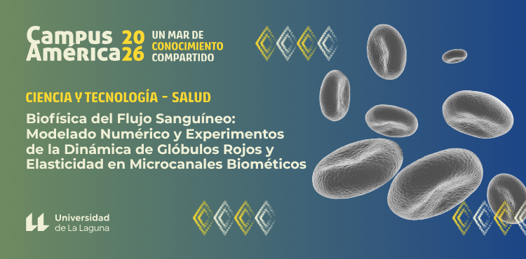
The fifth edition of Campus América is coming, from October 19th to 30th, a space for evaluating and promoting the internationalization efforts of the University of La Laguna... |
17 events,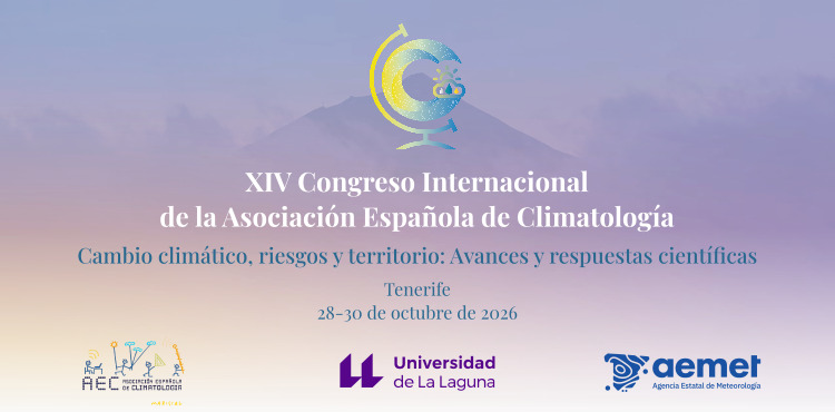
The Spanish Association of Climatology (AEC) was founded in 1998 to bring together those interested in climate science. Every two years... 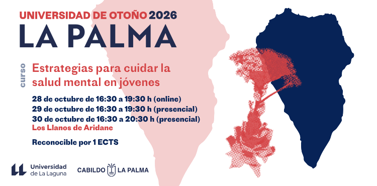
Los Llanos de Aridane hosts the University Extension course "Strategies for caring for the mental health of young people", which will be held on October 28, 29 and 30... 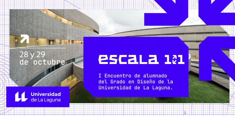
The Cultural Design Classroom is organizing this meeting which will be held at the Guajara Campus on October 28 and 29, 2026 from 4:30 pm to 7:00 pm... 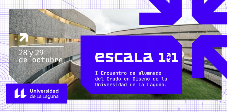
The Cultural Design Classroom is organizing this meeting which will be held at the Guajara Campus on October 28 and 29, 2026 from 4:30 pm to 7:00 pm...
-
The fifth edition of Campus América is coming, from October 19th to 30th, a space for evaluating and promoting the internationalization efforts of the University of La Laguna...
-
The fifth edition of Campus América is coming, from October 19th to 30th, a space for evaluating and promoting the internationalization efforts of the University of La Laguna...
-
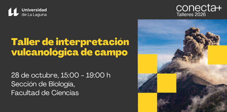
The "Field Volcanological Interpretation Workshop" is part of the 2026 University Extension Workshops program, "Connect+ Workshops." It will be held on Wednesday, October 28th... |
18 events,
The Scientific Conference is conceived as an “Open Laboratory” focused on advances in international research on Human Rights and Social Work. It aims to broaden and bring the content closer... 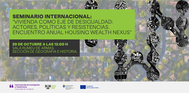
The international seminar "Housing as an axis of inequality: actors, policies and resistance. Housing Wealth Nexus Annual Meeting" will take place on October 29 and 30 at the University of... 
The orientation meeting in Tenerife will take place on October 29th in the Blas Cabrera Felipe Auditorium, in the Physics and Mathematics Building of the Faculty of... 
As a parallel activity to the upcoming ULL Debates: Our Mental Health, scheduled for October 29th at the Faculty of Social Sciences and Information, we will have...
-

The workshop "Voice Care: Experiential Training and Prevention for Everyday Life" is part of the 2026 University Extension Workshops program "Connect+ Workshops". It...
-

Mental health is a broad phenomenon that affects multiple aspects of our society; therefore, the public university stands as a space for the everyday expression of...
-

The fifth edition of Campus América is coming, from October 19th to 30th, a space for evaluating and promoting the internationalization efforts of the University of La Laguna... |
16 events,
-
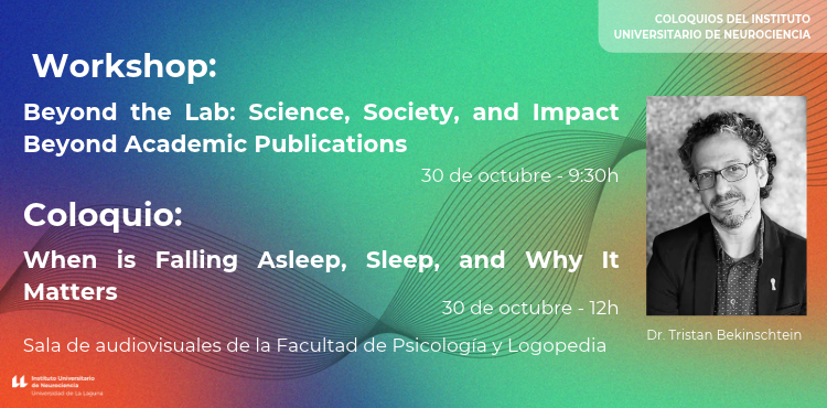
The University Institute of Neuroscience (IUNE) is organizing a conference next Friday, October 30th, with Dr. Tristan Bekinschtein, a researcher in the Department of Psychology at the University of Cambridge,...
-

The European Documentation Centres of the ULL and the ULPGC, together with the Canary Islands Council of the European Movement, Eurodesk Spain, Europe Direct Canarias and the Parliament of the Canary Islands, are organizing a...
-
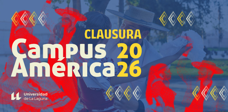
The closing ceremony for the fifth edition of Campus América will take place on Friday, October 30th. This year's event runs from October 19th to 30th. Campus América is... |
6 events,
Following the excellent reception of the first two editions, the Directorate of Cooperation and Mobility with Africa and Latin America of the University of La Laguna, in collaboration with the laboratory...
-
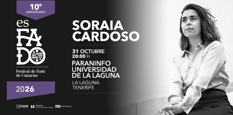
Soraia Cardoso is one of Portugal's rising fado singers. In 2018, she was a contestant on the television program The Voice Portugal, where she finished in third place. She was the first fado singer... |
5 events, |
6 events,
The course "Lifestyle Medicine: Prescribing Habits to Improve Health" is part of the 2026 University Extension Courses program "Connect+ Expand Your Knowledge". It... |
11 events,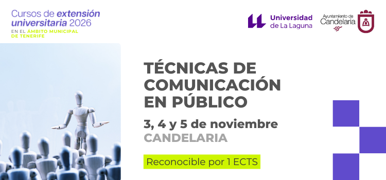
Candelaria hosts the course "Public Speaking Techniques", organized jointly by the Vice-Rectorate for Culture and University Extension and the Candelaria City Council, as part of the Courses program... 
The Directorate of Cooperation and Mobility with Africa and Latin America of the Vice-Rectorate for Internationalization and Cooperation launches the second edition of the interdisciplinary workshop "Stories from the Global South: other voices, other... 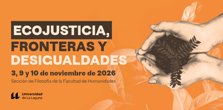
The Javier Muguerza Carpintier Cultural Chair is organizing an Ibero-American seminar with Mexican and Spanish thinkers on Ecojustice, Borders, and Inequalities. Mexican professors and researchers from the Benemérita Universidad Autónoma de San Juan will participate. 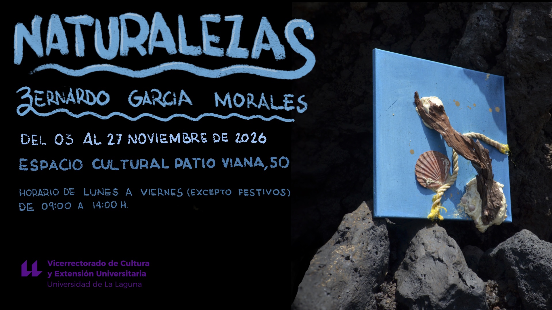
Bernardo García Morales's paintings explore the intrinsic beauty of natural materials and their capacity to become landscapes. His work is close to informalism and linked to tradition...
-
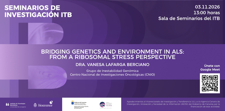
The ITB 2026 Research Seminars program continues on Tuesday, November 3rd at 1:00 pm with a seminar by Dr. Vanesa Lafarga, who will give a talk entitled "Bridging...
-
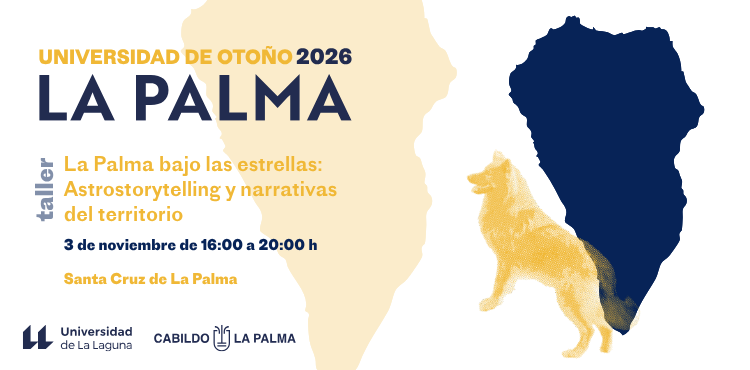
Santa Cruz de La Palma hosts the University Extension workshop "La Palma under the stars: Astrostorytelling and narratives of the territory", which will be held on November 3, 2026...
-

The International Ballet Company, one of Europe's finest classical ballet companies, comprised of soloists and dancers from England, France, Ukraine, Spain, and Italy, among other countries, presents us... |
14 events,
In August 2025, the University of Costa Rica held the First International and Interdisciplinary Congress 'Unlivable Lives: Masculinities in Ibero-America'. This meeting addressed... 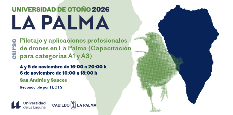
San Andrés y Sauces hosts the University Extension course "Drone Piloting and Professional Applications in La Palma (Training for categories A1 and A3)," which will be held on... 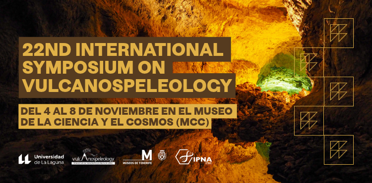
The 22nd International Symposium on Volcanospeleology (ISV22) is the world's leading meeting dedicated to the study of lava tubes and cavities, structuring its program... 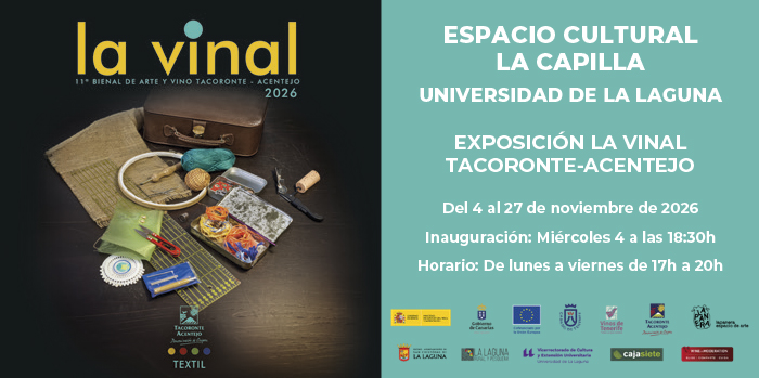
La Vinal. The Tacoronte-Acentejo Art and Wine Biennial is a project that, since 2006, has fostered a dialogue between contemporary artistic practices and the wine culture of the region. Each edition...
-
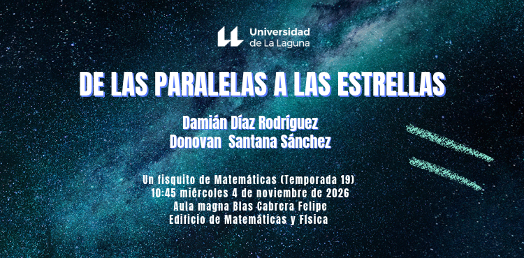
On Wednesday, October 14th, the 19th season of a new mathematical physics show continues in the Blas Cabrera Auditorium of the Physics and Mathematics Building at the University of...
-

The Institute of Canarian Studies is hosting this art workshop, "Ecology and Collage: Recreating the Canary Islands," which will be held on November 4, 2026, from 5:00 p.m. to 7:30 p.m.
-
The International Ballet Company, one of Europe's finest classical ballet companies, comprised of soloists and dancers from England, France, Ukraine, Spain, and Italy, among other countries, presents us... |
13 events,
-
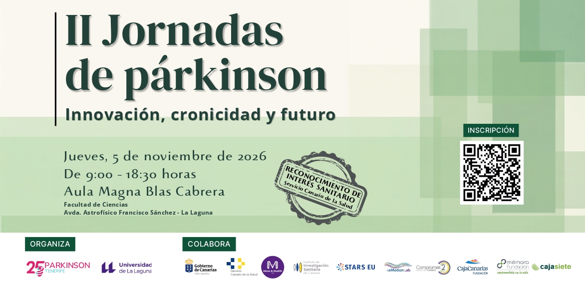
The 'II Parkinson's Conference: Innovation, Chronicity and Future' is presented as a space for meeting, training and knowledge exchange to delve deeper into the comprehensive approach to the disease...
-
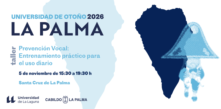
Santa Cruz de La Palma will host the University Extension workshop "Vocal Prevention: Practical Training for Daily Use," which will be held on November 5, 2026, at...
-

The International Ballet Company, an acclaimed company comprised of soloists from Ukraine, France, Moldova, Spain, and Italy, among other countries, invites us to enjoy its 2026 Winter Tour... |
14 events,
Nothing is what it seems, the new show by Dakris, The Invisible Magician, winner of the First National Magic Prize, a television creative and winner of the award for best magician...
-
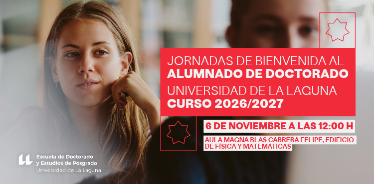
The Blas Cabrera Felipe Auditorium, located in the Physics and Mathematics Building of the University of La Laguna, will host an event on Friday, November 6th, starting at...
-
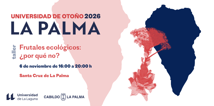
Santa Cruz de La Palma hosts the University Extension workshop "Organic fruit trees, why not?", which will be held on November 6, 2026 from 4:00 pm to 8:00 pm...
-

In the depths of the ocean, where light barely penetrates and conditions are extreme, marine mammals like the sperm whale have developed amazing survival skills, using sound as... |
10 events, |
10 events, |
10 events,
-

The University of La Laguna and the STARS EU community are organizing the presentation of the Circular Economy Living Lab, which will take place next Monday, November 9th...
-

The Cultural Classroom of Contemporary Artistic Thought is organizing this event, which will be held at the La Limonera Cultural Association on Monday, November 9th, from 5:00 PM to 10:00 PM... |
15 events,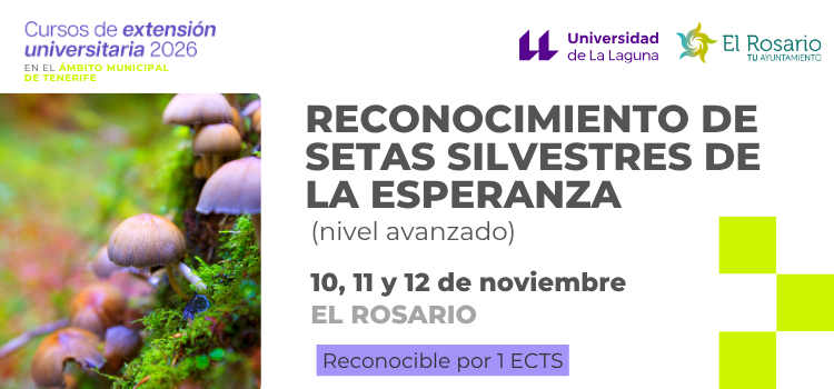
El Rosario hosts the course "Identification of wild mushrooms of La Esperanza (advanced level)", jointly organized by the Vice-Rectorate for Culture and University Extension and the Illustrious City Council of El Rosario,... 
The 1st International Conference on Renewable Energy will take place on the island of El Hierro from November 10th to 13th, 2026. El Hierro is not just the setting... 
The Research Group: Law, Person and Family, is organizing these conferences which will be held at the Faculty of Law on Tuesdays, November 10 and 17, 2026, at the following times...
-

The 2nd Conference "Take Care of Your Sexuality: Young Women, Disabilities and Prevention of Sexual Violence" is an initiative promoted within the framework of collaboration between the General Directorate of...
-
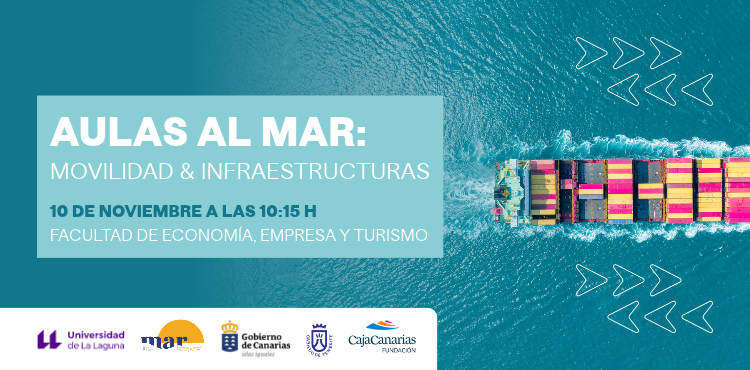
On Tuesday, November 10th at 10:15 am, the "Classrooms to the Sea" event will take place at the Faculty of Economics, Business and Tourism of the University of La Laguna.
-

The Faculty of Social Sciences and Communication's Board Room will host the presentation of the book: "Western Sahara 1975. The End of Francoist Colonialism," which will take place... |
10 events,
-

The work of a psychomotor therapist with children cannot be separated from the child's family reality. Involving the family in the therapeutic process entails...
-

Every time Petite Lorena moves across the stage, she effortlessly traverses the precipice that separates political correctness from incorrectness, a precipice that is, incidentally, more slippery than ever now.... |
16 events,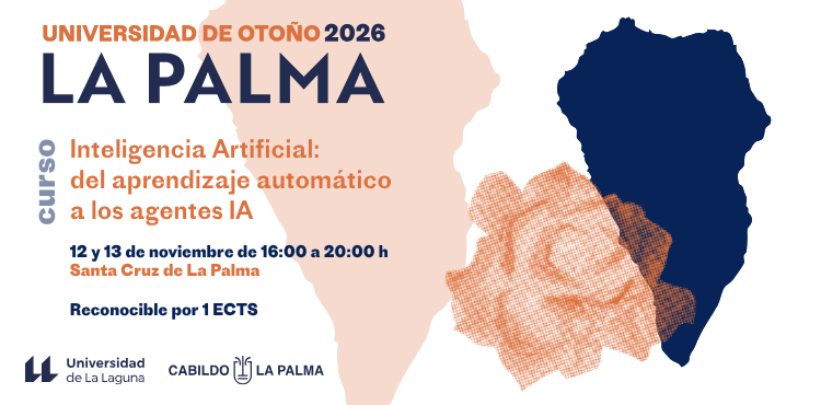
Santa Cruz de La Palma hosts the University Extension course "Artificial Intelligence: from machine learning to AI agents", which will be held on November 12 and 13... 
The "1st International Wine Marketing Workshop. La Palma 2026" will be held at the San Antonio Volcano Visitor Centre in the municipality of Fuencaliente on the 12th and 13th... 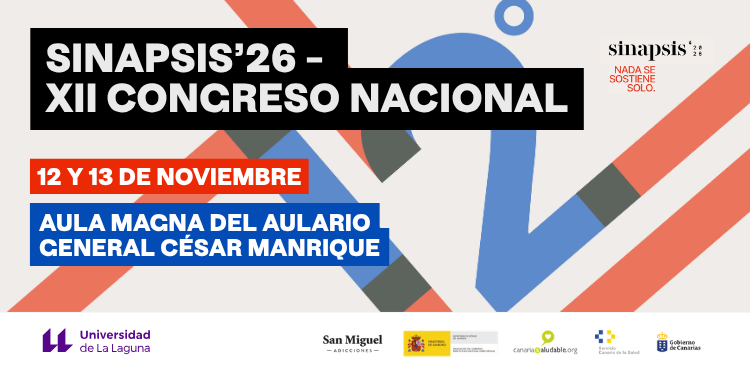
The twelfth edition of Sinapsis will be held on November 12th and 13th in the Aula Magna of the César Manrique General Lecture Hall at the University of La Laguna. This... 
The 3rd International Technical Conference on Sustainable Viticulture will be held on the island of La Gomera on November 12, 13 and 14, 2026. This event,...
-
The University of La Laguna will present the projects developed in the... next Thursday, November 12, at 10:45 a.m., in the Aula Magna of the Central Building (Rector's Hall).
-
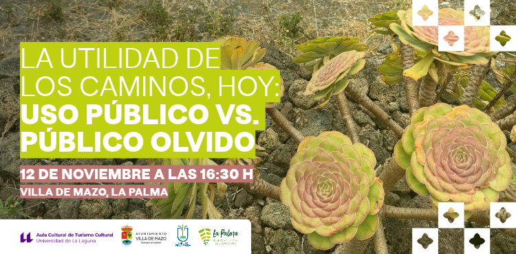
Historical routes are currently being debated between their status as a strategic resource and their potential for sustainable use by communities that have recognized their potential...
-
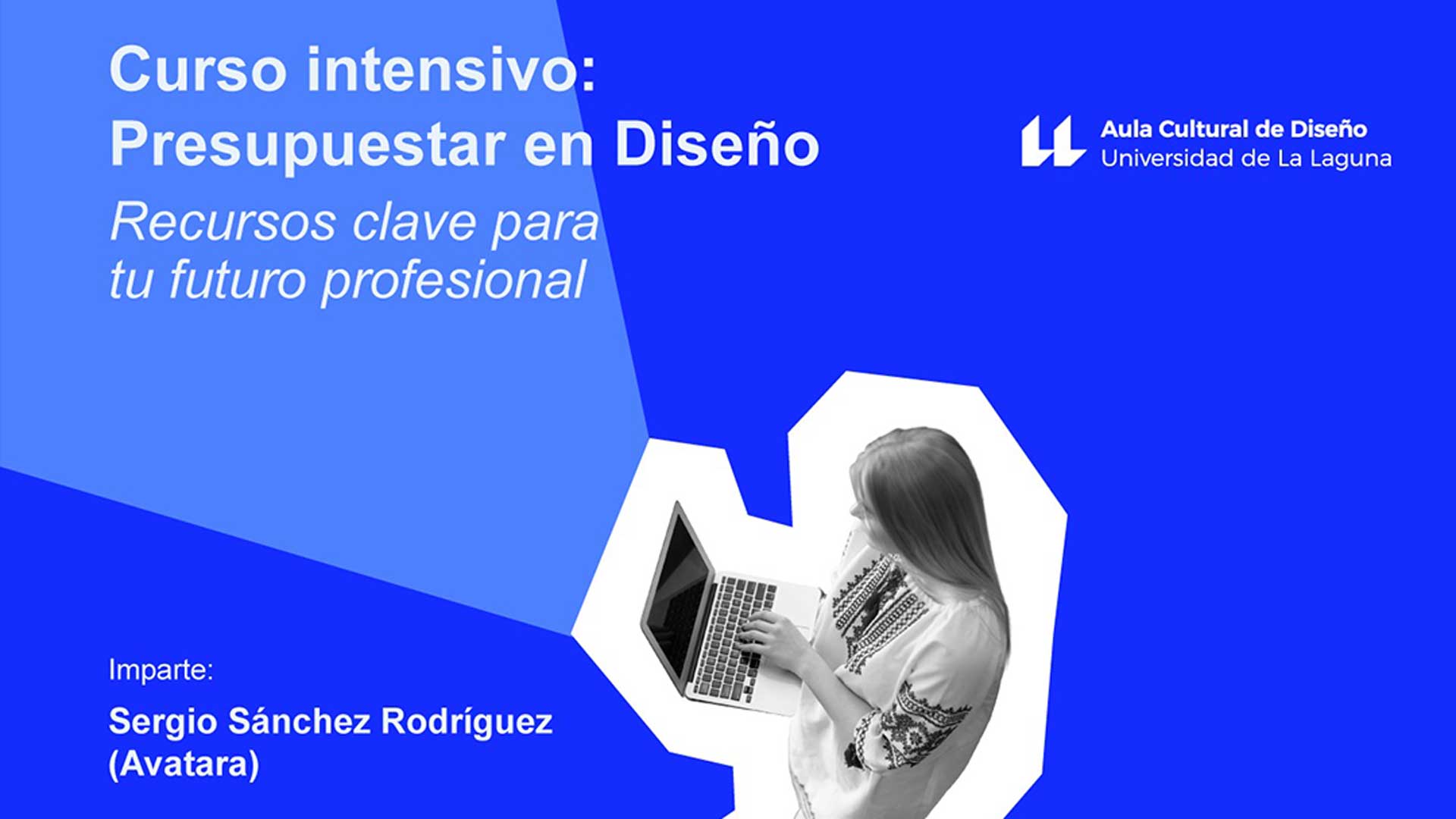
Do you know the true value of your work as a creative designer? Budgeting a creative project goes far beyond simply assigning a price. It involves knowing how to value your work, manage projects, and defend your position... |
14 events,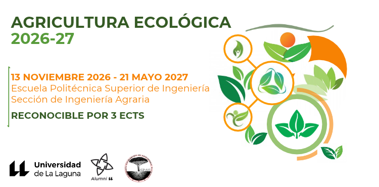
The Permanent Seminar on Organic Agriculture (SPAE) and the Association of Former Students and Friends of the University of La Laguna (Alumni ULL), with the collaboration of the Section of...
-
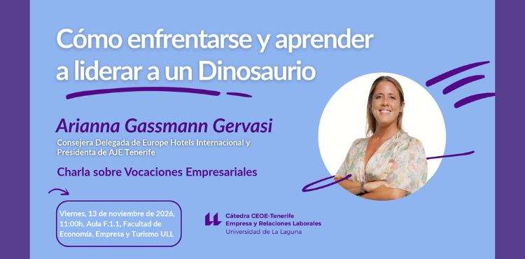
The CEOE-Tenerife Chair of Business and Labor Relations is organizing this talk, which will be held on Friday, November 13, 2026, from 11:00 a.m. to 1:00 p.m. in the Faculty of Economics,...
-

This fourth lecture in the "Series of Dissemination Lectures on Medical Criminal Law" given by Christian Conal Fuertes, Assistant Professor of Criminal Law at the University of La Laguna,...
-

The Cultural Center for Scientific Outreach is organizing this seminar, which will be held online on November 13, 2026, from 4:30 p.m. to 6:30 p.m. Literary routes... |
9 events,
-
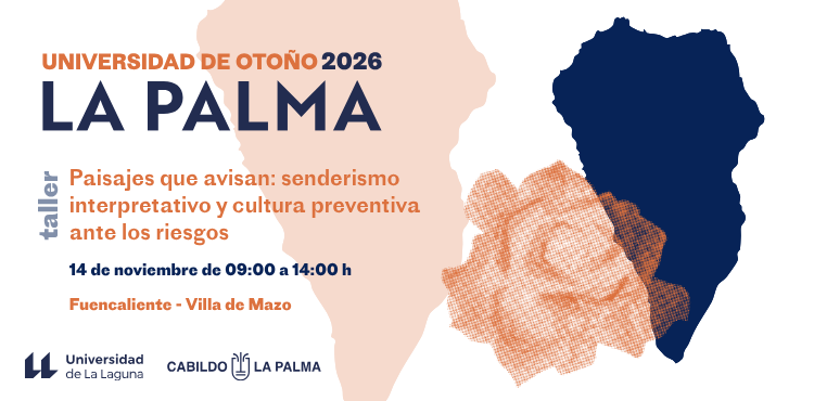
The University Extension workshop "Landscapes that warn: interpretive hiking and preventive culture in the face of risks" will be held on November 14, 2026 from 9:00 a.m. to 2:00 p.m.
-

The Sports Service is organizing the "Train with Strategy" workshop, taught by instructors Guillermo Maldonado de Diego, a Senior Technician in Teaching and Socio-sports Activities and a student of the Degree in...
-
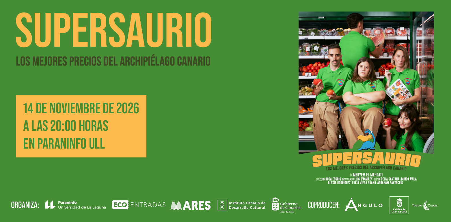
In an archipelago where opportunities seem to pass as slowly as Route 91, Meryem, a 25-year-old, tries to find her place amidst work at Supersaurio, the... |
5 events, |
9 events,
The Mapfre Canarias Foundation Chair of Technology and Education, in collaboration with the EDULLAB Research and Innovation Group (Laboratory of Education and New Technologies of the ULL), is organizing this...
-

The Institutional Chair of Childhood and Adolescence at the University of La Laguna will hold its third annual awards ceremony on Monday, November 16, 2026...
-

Within the framework of the structural project "Book Days: A Year to Inhabit the Word," the Vice-Rectorate for Culture and University Extension, in collaboration with the Cultural Center...
-

Argentine comedian Fede Cyrulnik, famous on social media, is returning to Spain! This time with his "Spanish Islands" tour, featuring new stand-up comedy and improvisations with live audiences on stages throughout the country... |
11 events,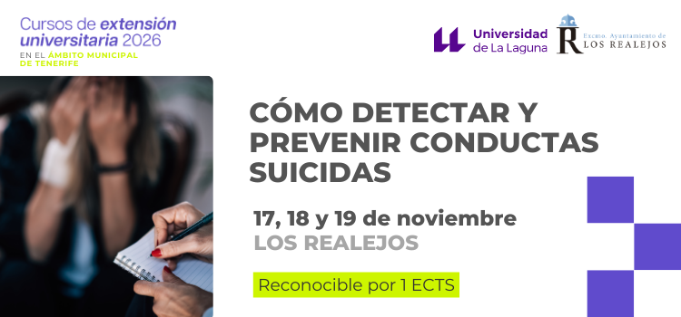
Los Realejos hosts the course "How to detect and prevent suicidal behavior," jointly organized by the Vice-Rectorate for Culture and University Extension and the Los Realejos City Council, within the framework of... 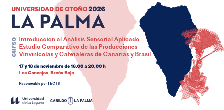
Breña Baja hosts the University Extension course "Introduction to Applied Sensory Analysis: Comparative Study of Wine and Coffee Production in the Canary Islands and Brazil," which will be held on...
-
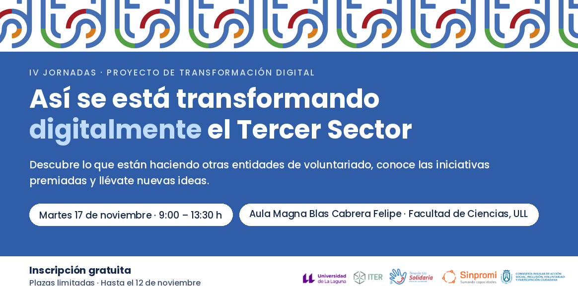
The Tenerife Isla Solidaria Program is organizing the 4th Digital Transformation Project Conference, which will be held on November 17th at the University of La Laguna. We encourage you to...
-
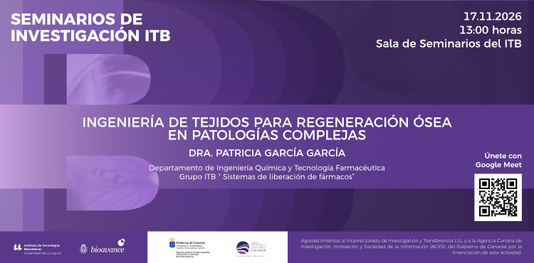
The ITB 2026 Research Seminars program continues on Tuesday, November 17th at 1:00 PM with a seminar by Dr. Patricia García García, who will give a talk...
-

The "Historical Press Workshop" is part of the 2026 University Extension Workshops program, "Connect+ Workshops." It will be held in the Geography and History Building on Tuesday... |
10 events,
Between November 18 and 20, 2026, the Spanish University Network for Environmental History (RUEDHA) will hold its 5th Congress at the University of La Laguna. This Fourth... 
The DARC Market is a space for meeting and showcasing university creative talent, where students and artists can present and sell their products and creations. Through... 
Porto will host the 11th World Congress on Childhood and Youth, a unique forum for reflection and dialogue on the challenges and opportunities facing children and young people in... 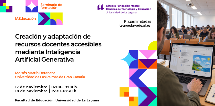
The MAPFRE Canarias Foundation Chair of Technology and Education (TECNOEDU) at the University of La Laguna is organizing the seminar-workshop “Creation and adaptation of accessible teaching resources through generative artificial intelligence”....
-

The "Law, Person and Family" Research Group of the University of La Laguna and the Institutional Chair of Childhood and Adolescence of the University of La Laguna are organizing the... |
15 events,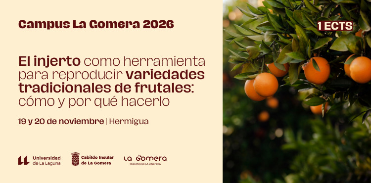
Hermigua hosts the University Extension course "Grafting as a tool to reproduce traditional fruit varieties: how and why to do it", which will be held on the 19th and 20th... 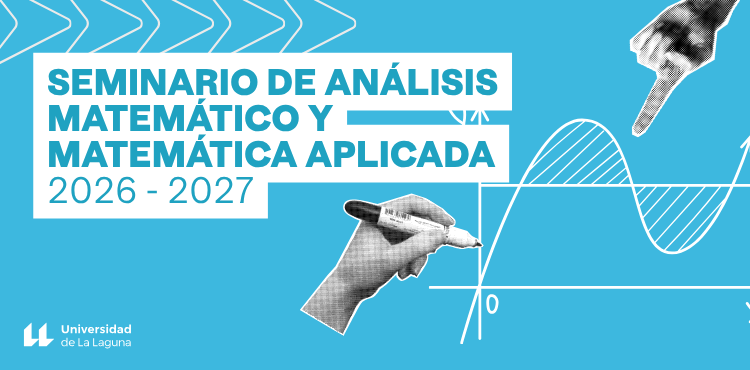
The Department of Mathematical Analysis and the Institute of Mathematics and Applications at the University of La Laguna organize weekly seminars on Mathematical Analysis and Applied Mathematics. 20...
-

As every year, the Philosophy Department of the University of La Laguna will celebrate World Philosophy Day on the third Thursday of November, which will take place on the 19th...
-

""A Meeting with Arantxa Rufo," part of the activities of the 9th Crime Fiction Book Club. This meeting is made possible by the Writers at the University program of the Association...
-
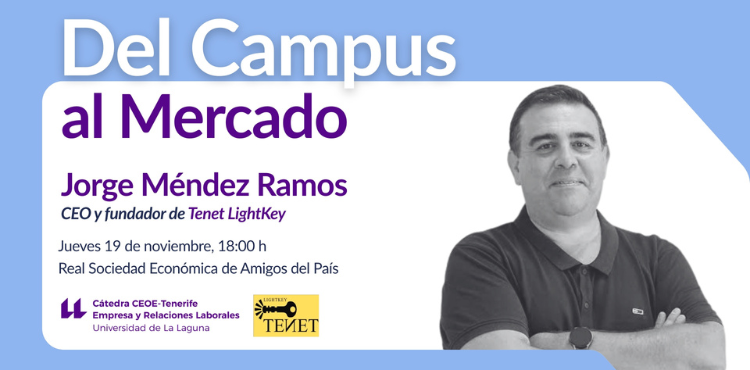
The CEOE-Tenerife Chair of Business and Labor Relations is organizing this event, which will be held on Thursday, November 19, 2026, from 6:00 p.m. to 8:00 p.m. at the headquarters of... |
15 events,
The 8th World Congress on Children and Adolescents, to be held online from November 20-27, 2026, constitutes an international space for meeting, reflection and...
-
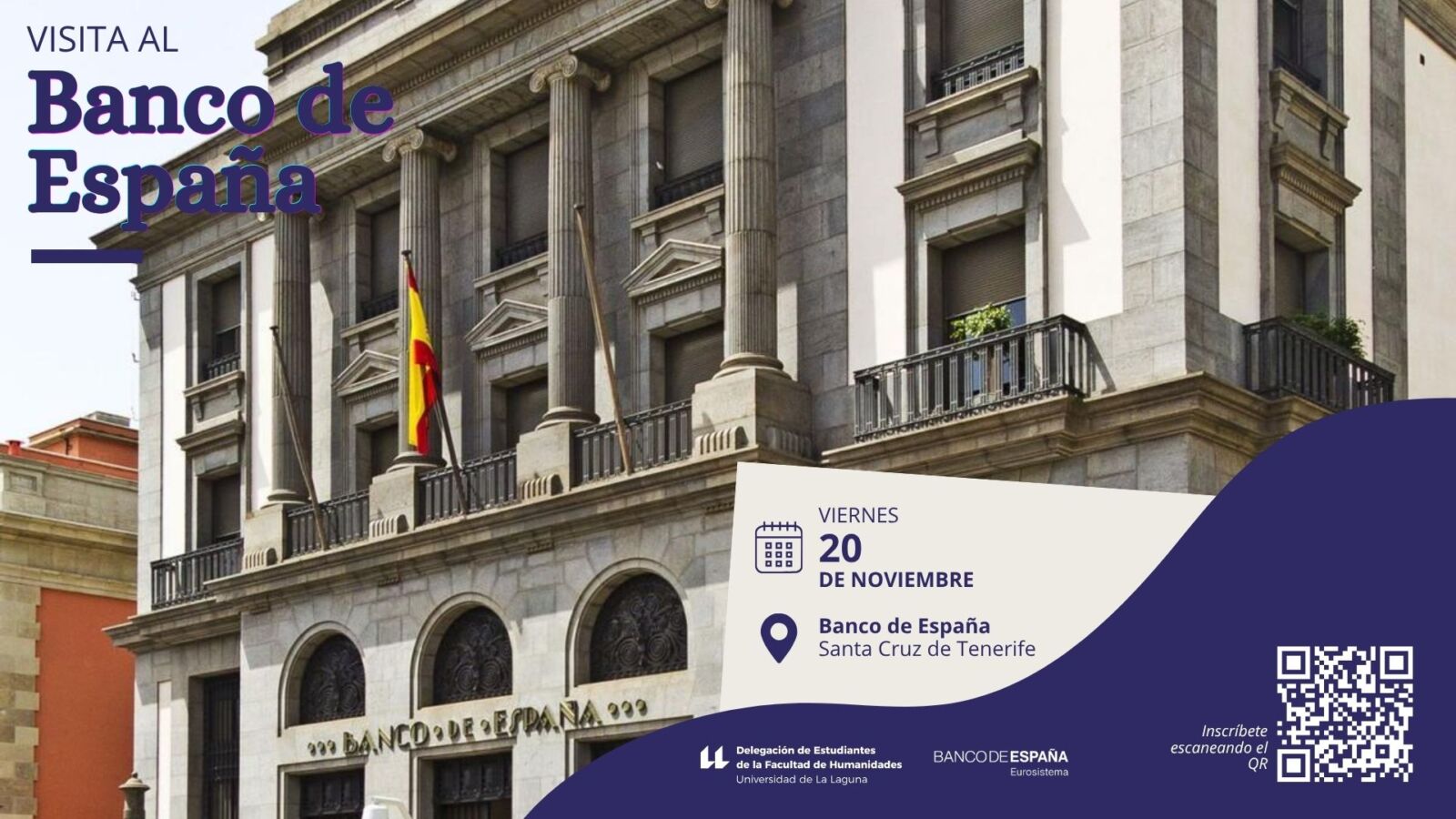
The Student Delegation of the Faculty of Humanities at the University of La Laguna is organizing a cultural visit to the Bank of... on October 20th at 10:00 am.
-
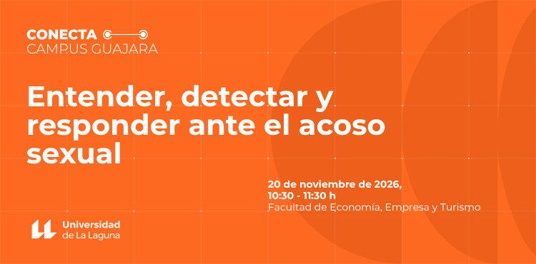
The Faculty of Economics, Business and Tourism, within the framework of CONECTA CAMPUS GUAJARA, is organizing this event which will be held at the Faculty of Economics, Business and Tourism on Friday...
-
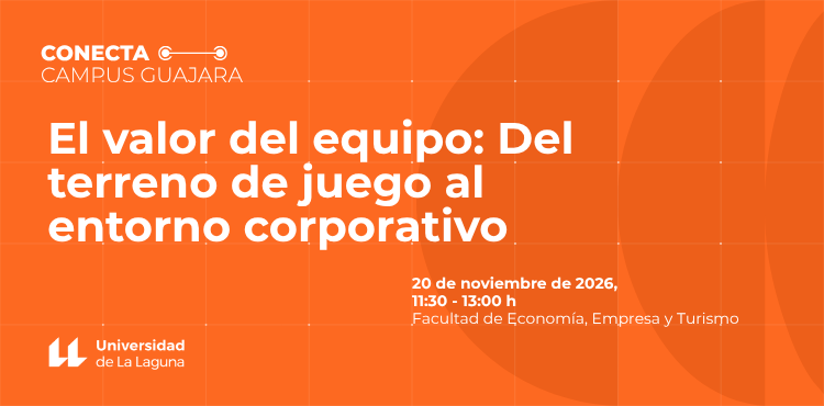
The Faculty of Economics, Business and Tourism, within the framework of CONECTA CAMPUS GUAJARA, is organizing this event which will be held at the Faculty of Economics, Business and Tourism on Friday... |
10 events,
-
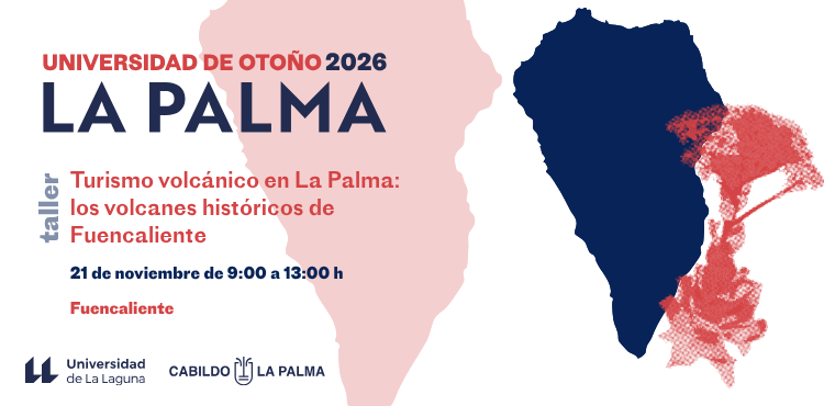
The University Extension workshop "Volcanic Tourism in La Palma: The Historical Volcanoes of Fuencaliente" will be held on November 21, 2026, from 9:00 a.m. to 1:00 p.m. at...
-

Is your mind racing? Are you constantly stressed? Discover how mindfulness meditation can help! Take advantage of the workshop that the Sports Department has scheduled for Saturday, the 21st...
-
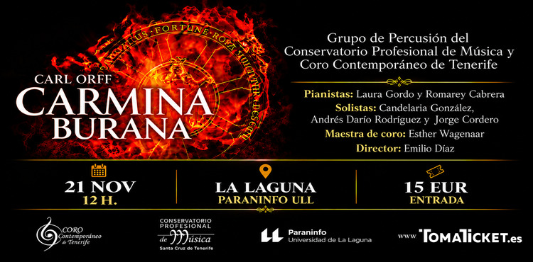
The Paraninfo of the University of La Laguna hosts Carmina Burana, the masterpiece by composer Carl Orff that has marked the history of music, one of the... |
8 events,
-
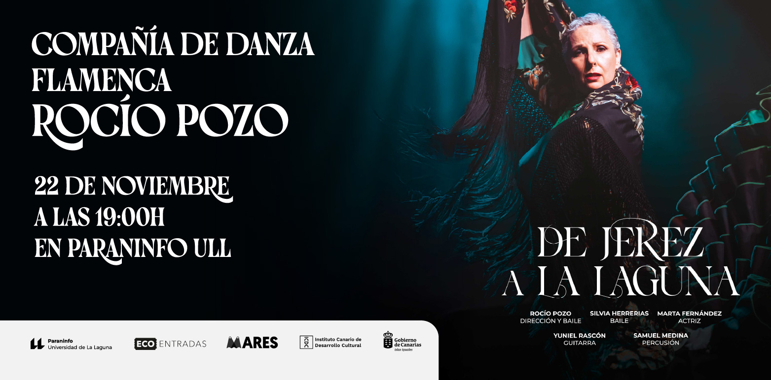
In this proposal, we explore the life and impact of an iconic figure in flamenco and a clear example of female empowerment, alongside other great women of her time.... |
11 events,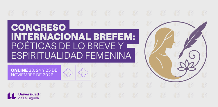
The BREFEM International Congress: Poetics of Brevity and Feminine Spirituality will take place virtually on November 23, 24 and 25, 2026, with the final day coinciding... 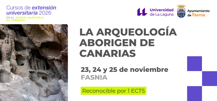
Fasnia hosts the course "The Aboriginal Archaeology of the Canary Islands", organized jointly by the Vice-Rectorate for Culture and University Extension and the Fasnia City Council, within the framework of the Courses program... 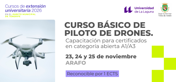
Arafo hosts the course "Basic Drone Pilot Course. Training for open category A1/A3 certificates", jointly organized by the Vice-Rectorate for Culture and University Extension and the Illustrious City Council... 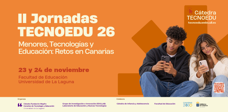
The 2nd TECNOEDU Conference will bring together specialists on November 23rd and 24th to address children's rights, the use of mobile phones in schools, and... |
11 events,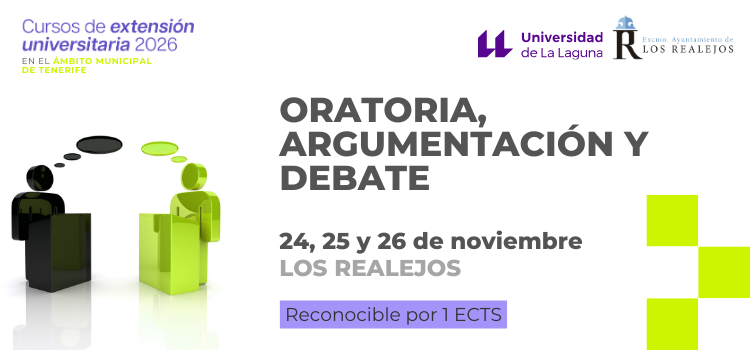
Los Realejos hosts the course "Public Speaking, Argumentation and Debate", jointly organized by the Vice-Rectorate for Culture and University Extension and the Los Realejos City Council, as part of the program of...
-
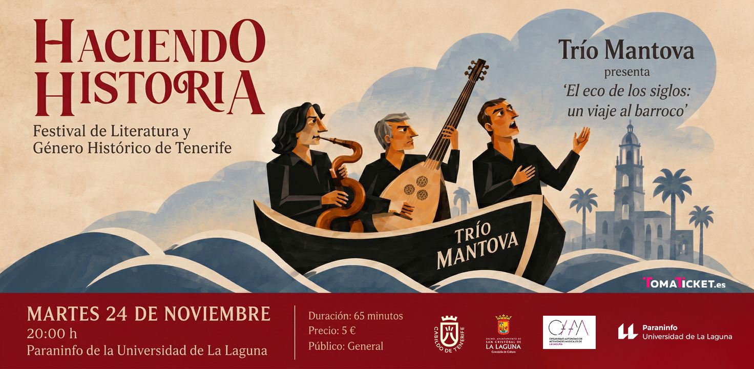
Music preserves the memory of its time. Its melodies resonate with the passions, longings, and contradictions of those who lived in other eras; its silences hold the stories that... |
13 events,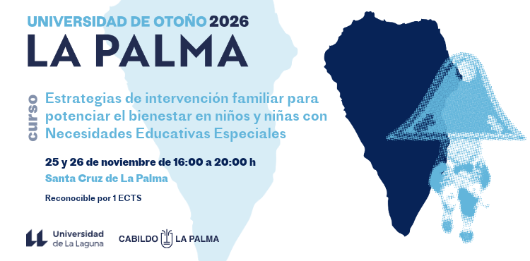
Santa Cruz de La Palma will host the University Extension course "Family Intervention Strategies to Enhance Well-being in Children with Special Educational Needs"... 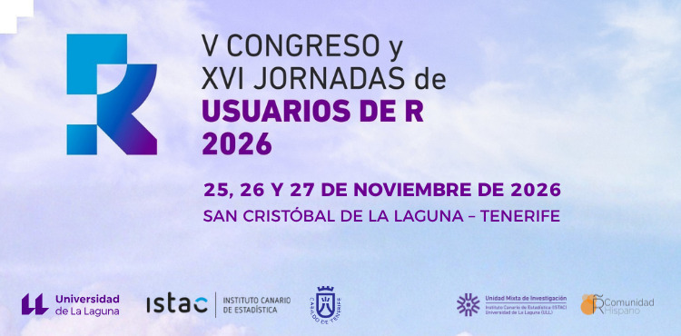
The 5th Congress and 16th R Users' Conference 2026 will bring together the Spanish-speaking community interested in the use of R, a free and open-source software programming language...
-

The work of a psychomotor therapist with children cannot be separated from the child's family reality. Involving the family in the therapeutic process entails...
-
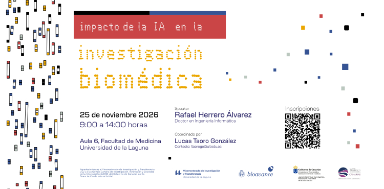
The Institute of Biomedical Technologies at the University of La Laguna will host a scientific workshop entitled "Impact of AI..." on Wednesday, November 25, 2026.
-
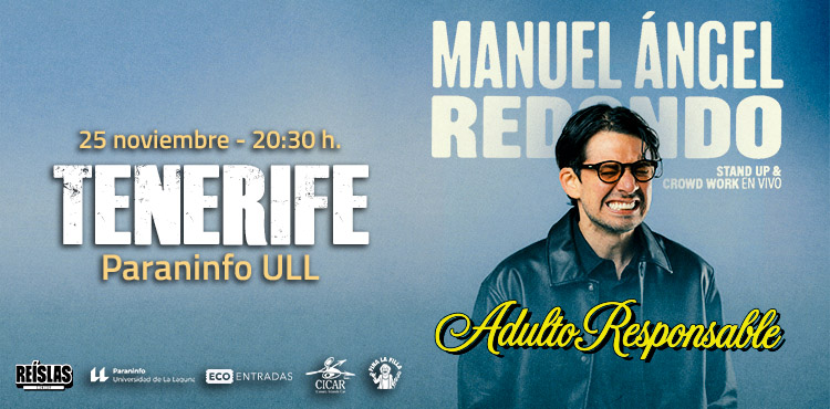
In 'Responsible Adult', Manuel Ángel Redondo presents a brand-new stand-up comedy and crowd work show about the strangest social experiment of all: adulthood. A show about... |
13 events,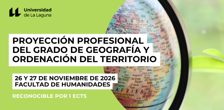
The knowledge acquired in a Geography degree, aimed at understanding the spatial component of the social and natural sciences, has gradually acquired a more focused approach...
-

The meeting aims to be a close-knit, participatory, and collaborative space that will strengthen relationships between the ULL's academic chairs, share experiences, identify synergies, and promote initiatives and...
-
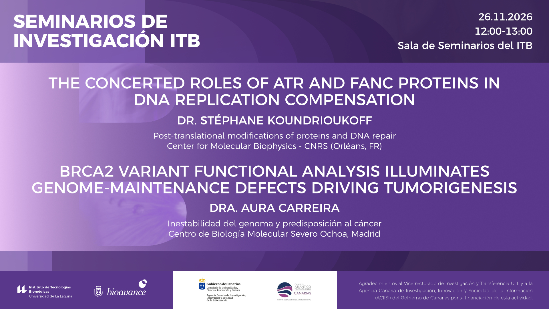
The ITB 2026 Research Seminars program continues on Thursday, November 26, from 12:00 to 13:00 with a double seminar by Dr. Stéphane Koundrioukoff, who...
-
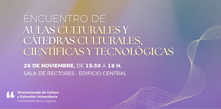
The meeting aims to be a close-knit, participatory, and collaborative space that will strengthen the relationships between the cultural classrooms and the cultural, scientific, and technological chairs of the ULL,... |
8 events,
-

After a long leave of absence, Gabriel, a music teacher, returns to work, doing what makes him happy: teaching. However, he has been assigned a... |
4 events,
-

The Sports Service is organizing the "Your Routine, Your Choice" workshop for the university community. This workshop is a practical and educational program to be held in the fitness room... |
4 events,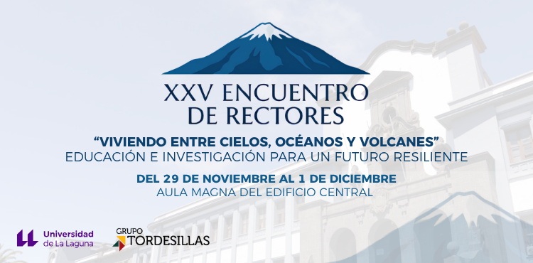
From November 29th to December 1st, the University of La Laguna will host the 25th Rectors' Meeting, entitled this year "Living between skies, oceans and volcanoes. Education...". |
6 events,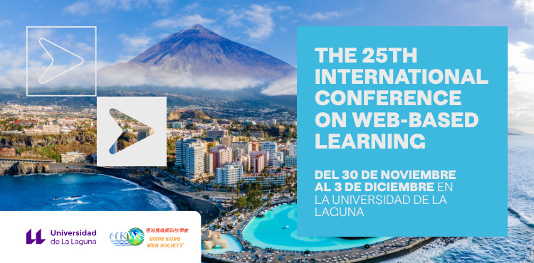
The 25th International Conference on Web-Based Learning (ICWL 2026) and the 11th International Symposium on Emerging Technologies for Education (SETE 2026) are two scientific conferences... 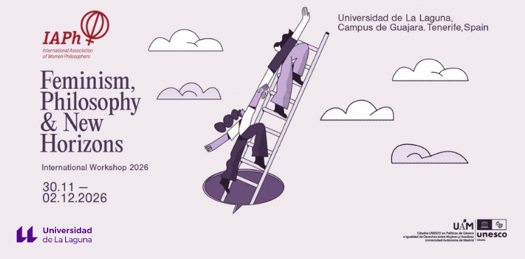
In an era of profound social, political, technological, and epistemic transformations, feminist philosophy offers critical resources for questioning established frameworks of knowledge, power, and justice. «Feminism, Philosophy, and…”. |
7 events,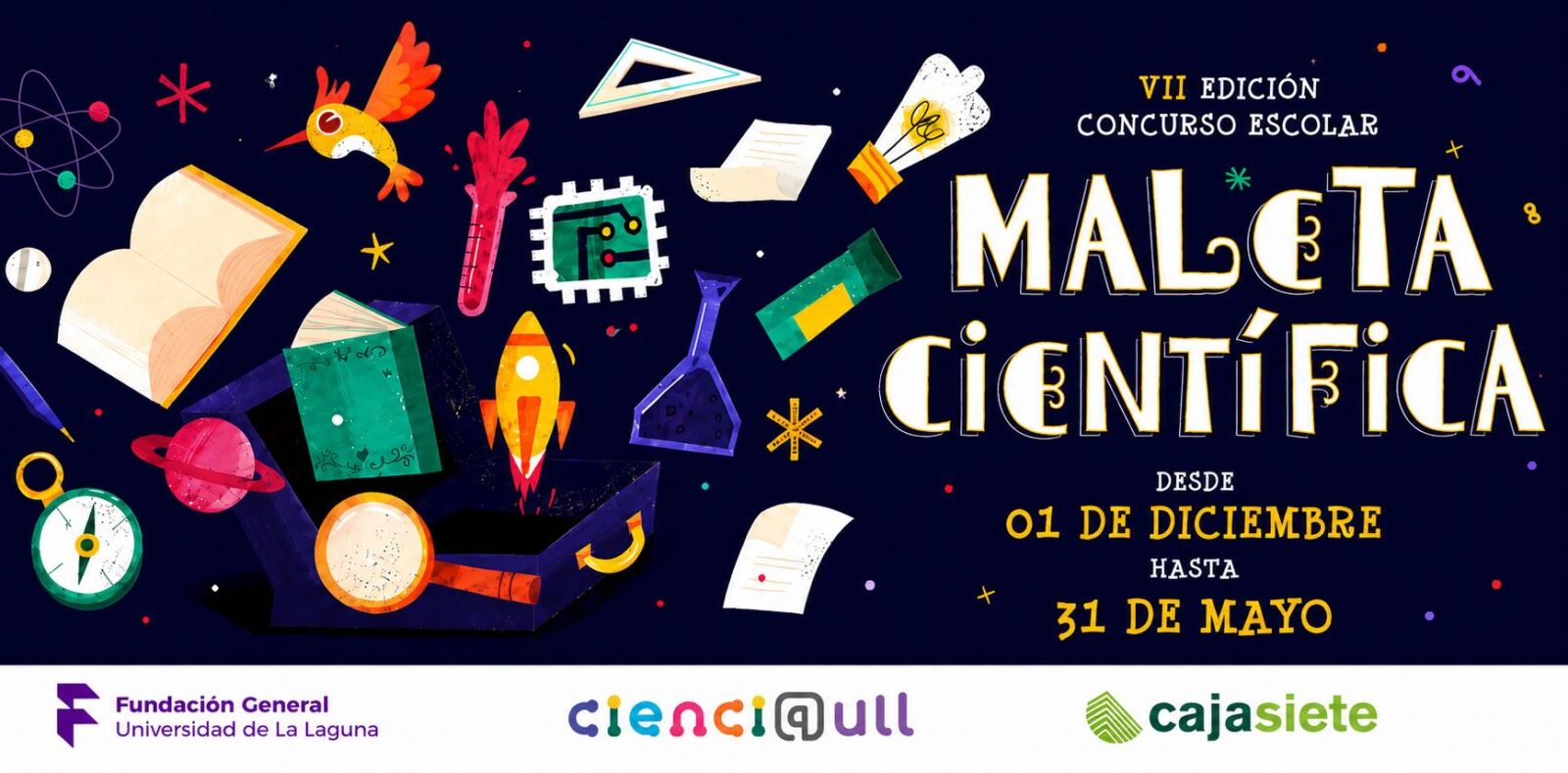
The University of La Laguna, through its Scientific Culture and Innovation Unit (Cienci@ULL), and Cajasiete present the seventh edition of the Scientific Suitcases School Competition... 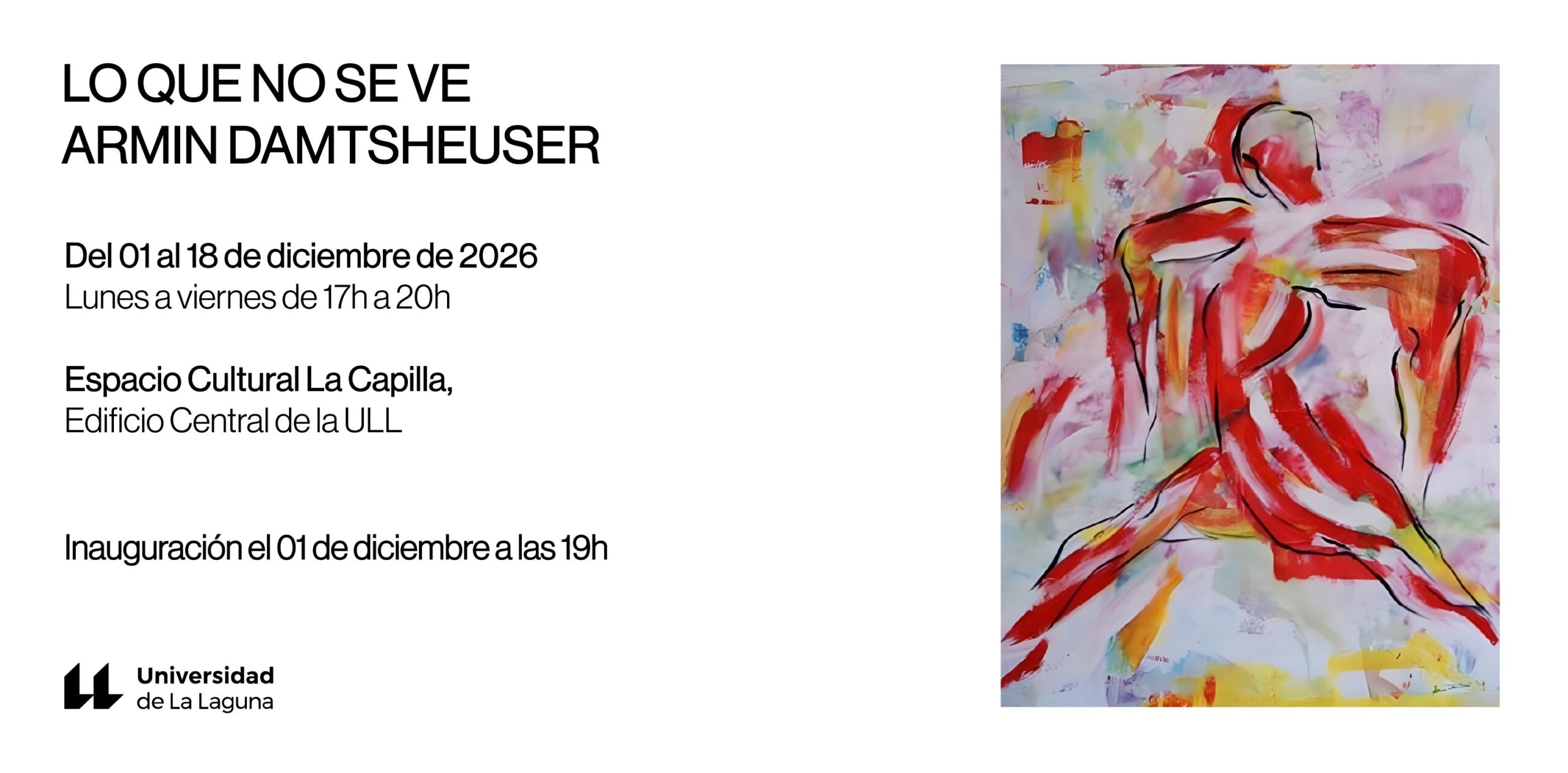
Armin Damtsheuser, a prolific visual artist born in Germany and residing in the Canary Islands, has taught in Tenerife for over 30 years. He is recognized for his extensive body of work... |
6 events, |
11 events,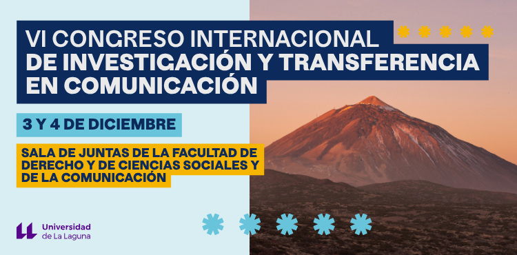
The Faculty of Social Sciences and Communication and the Faculty of Law of the University of La Laguna will host, on December 3 and 4, 2026,...
The Faculty of Social Sciences and Communication and the Faculty of Law of the University of La Laguna will host, on December 3 and 4, 2026,...
-

The Faculty of Economics, Business and Tourism, within the framework of CONECTA CAMPUS GUAJARA, is organizing this event which will be held at the Faculty of Economics, Business and Tourism on Thursday...
-
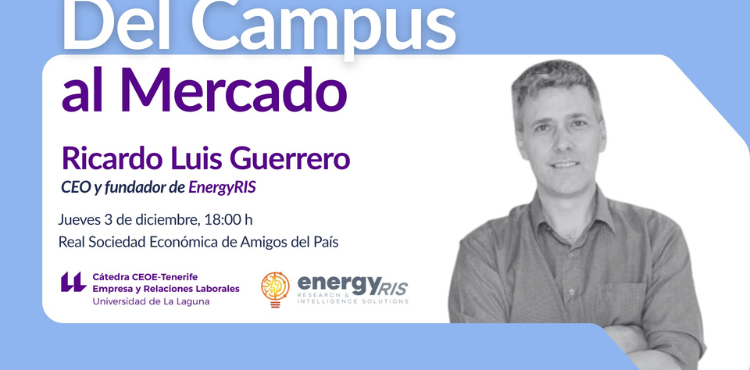
The CEOE-Tenerife Chair of Business and Labor Relations is organizing this event, which will be held on Thursday, December 3, 2026, from 6:00 p.m. to 8:00 p.m. at the headquarters of...
-
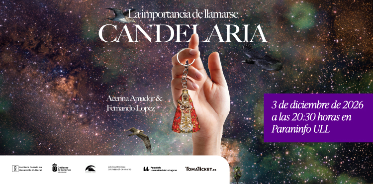
''The Importance of Being Named Candelaria' explores the various facets of the cult of the Virgin of Candelaria to investigate evangelization as a cultural instrument supporting colonization and... |
7 events,
-

La Partenaire is the daughter of Farsán, a small-time magician whose career ended after a trick went wrong in a show... |
6 events,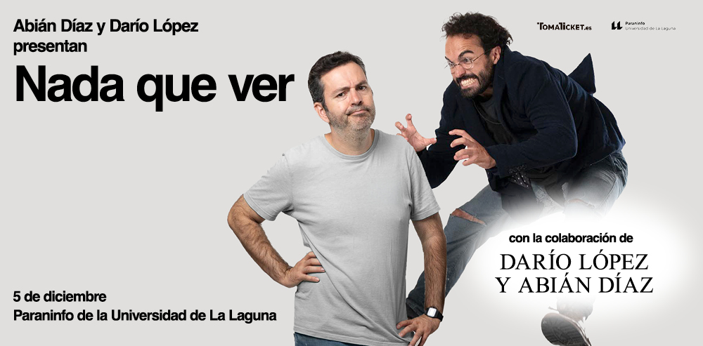
Hello, I'm Abián Díaz. Apparently, Darío López insists that I shouldn't be in charge of the synopsis. And this lack of confidence hurts. I'm convinced I have the ability...
Hello, I'm Abián Díaz. Apparently, Darío López insists that I shouldn't be in charge of the synopsis. And this lack of confidence hurts. I'm convinced I have the ability... |
5 events,
-

A book that keeps changing hands: 'Anna Karenina'. Three women rethink their lives after reading it. Mariana, a museum guard, recognizes herself... |
Government Pavilion, C/ Padre Herrera s/n
P.O. Box 456
38200, San Cristóbal de La Laguna
Santa Cruz de Tenerife - Spain
Switchboard Tel.: (+34) 922 31 90 00
Hours: Mon-Fri, 8:00 a.m. to 9:00 p.m.
